Skåre, Sweden: Difference between revisions
Appearance
Content deleted Content added
Tom.Reding (talk | contribs) m Category:CS1 errors: deprecated parameters: migrate 1/1 |dead-url= to |url-status=; minor cleanup; WP:GenFixes on |
m →External links: add authority control |
||
| Line 37: | Line 37: | ||
{{Localities in Karlstad Municipality}} |
{{Localities in Karlstad Municipality}} |
||
{{authority control}} |
|||
{{DEFAULTSORT:Skare}} |
{{DEFAULTSORT:Skare}} |
||
Latest revision as of 05:37, 11 March 2020
Skåre | |
|---|---|
| Coordinates: 59°26′N 13°26′E / 59.433°N 13.433°E | |
| Country | Sweden |
| Province | Värmland |
| County | Värmland County |
| Municipality | Karlstad Municipality |
| Area | |
• Total | 3.88 km2 (1.50 sq mi) |
| Population (31 December 2010)[1] | |
• Total | 5,402 |
| • Density | 1,391/km2 (3,600/sq mi) |
| Time zone | UTC+1 (CET) |
| • Summer (DST) | UTC+2 (CEST) |
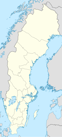
Skåre is a locality situated in Karlstad Municipality, Värmland County, Sweden with 5,402 inhabitants in 2010.[1] The town grew up around the railway station which was an important transshipment point: goods transported on the Klarälven River were here transferred to rail for onward conveyance, and vice versa [1].
References
[edit]- ^ a b c "Tätorternas landareal, folkmängd och invånare per km2 2005 och 2010" (in Swedish). Statistics Sweden. 14 December 2011. Archived from the original on 27 January 2012. Retrieved 10 January 2012.
External links
[edit]- A map of Skåre
- Skåre: statistical data (in Swedish)
- Skåre railway station (in Swedish)

