Viljuša: Difference between revisions
Appearance
Content deleted Content added
m Task 18 (cosmetic): eval 1 template: hyphenate params (1×); cvt lang vals (1×); |
|||
| (2 intermediate revisions by 2 users not shown) | |||
| Line 36: | Line 36: | ||
|area_magnitude = |
|area_magnitude = |
||
|unit_pref =Metric |
|unit_pref =Metric |
||
|area_footnotes =<ref name="area-cacak">{{cite web |title=Насеља општине Чачак |url=http://webrzs.stat.gov.rs/axd/Registar/SlikeRegioni/Mapiranemape/CentralnaSrbija/ReCacak.pdf |website=stat.gov.rs |publisher=Statistical Office of Serbia |access-date=12 October 2019 |language=sr}}</ref> |
|||
|area_footnotes = |
|||
|area_total_km2 =8.25 |
|area_total_km2 =8.25 |
||
|area_land_km2 = |
|area_land_km2 = |
||
| Line 67: | Line 67: | ||
{{coord|43|50|10|N|20|24|10|E|type:city_source:kolossus-frwiki|display=title}} |
{{coord|43|50|10|N|20|24|10|E|type:city_source:kolossus-frwiki|display=title}} |
||
{{Čačak}} |
{{Čačak}} |
||
{{Moravica District}} |
|||
{{DEFAULTSORT:Viljusa}} |
{{DEFAULTSORT:Viljusa}} |
||
Latest revision as of 22:04, 12 January 2021
Viljuša | |
|---|---|
Village | |
| Coordinates: 43°50′10″N 20°24′10″E / 43.83611°N 20.40278°E | |
| Country | |
| District | Moravica District |
| Municipality | Čačak |
| Area | |
• Total | 8.25 km2 (3.19 sq mi) |
| Elevation | 290 m (950 ft) |
| Population (2011) | |
• Total | 920 |
| • Density | 110/km2 (290/sq mi) |
| Time zone | UTC+1 (CET) |
| • Summer (DST) | UTC+2 (CEST) |
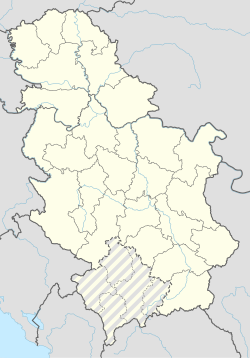
Viljuša is a village in the municipality of Čačak, Serbia. According to the 2011 census, the village has a population of 920 people.[2]
References
[edit]- ^ "Насеља општине Чачак" (PDF). stat.gov.rs (in Serbian). Statistical Office of Serbia. Retrieved 12 October 2019.
- ^ Popis stanovništva, domaćinstava i Stanova 2002. Knjiga 1: Nacionalna ili etnička pripadnost po naseljima. Republika Srbija, Republički zavod za statistiku Beograd 2003. ISBN 86-84433-00-9


