South Leaze: Difference between revisions
Appearance
Content deleted Content added
Jack Soley (talk | contribs) m fixed co-ordinates |
Jack Soley (talk | contribs) m Photo edit |
||
| Line 1: | Line 1: | ||
{{Infobox UK place |
{{Infobox UK place |
||
|country = England |
|country = England |
||
|static_image_name = |
|static_image_name = Near South Leaze.jpg |
||
|static_image_caption = |
|static_image_caption = Single track road and farmhouse in South Leaze |
||
|coordinates = {{coord|51.548|-01.82|display=inline,title}} |
|coordinates = {{coord|51.548|-01.82|display=inline,title}} |
||
|official_name = South Leaze |
|official_name = South Leaze |
||
Revision as of 21:47, 17 October 2021
| South Leaze | |
|---|---|
 Single track road and farmhouse in South Leaze | |
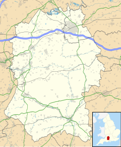
Location within Wiltshire | |
| OS grid reference | SU1282 |
| Unitary authority | |
| Ceremonial county | |
| Region | |
| Country | England |
| Sovereign state | United Kingdom |
| Post town | Swindon |
| Postcode district | SN1 |
| Dialling code | 01793 |
| Police | Wiltshire |
| Fire | Dorset and Wiltshire |
| Ambulance | South Western |
| UK Parliament | |
South Leaze is a hamlet within the Borough of Swindon, Wiltshire, United Kingdom. It is south of the nearby village of Toothill and is nearby to the Mannington Retail Park & the National Cycle Route 45 passes through the hamlet. There were cottages in the hamlet as late as 2008.[1]
References
- ^ "Building Regulation Records 2008" (PDF). swindon.gov.uk. Retrieved 2021-10-11.

