Hòa Bình, Biên Hòa: Difference between revisions
Appearance
Content deleted Content added
Tamcaoyngao (talk | contribs) cited |
Tamcaoyngao (talk | contribs) map |
||
| Line 68: | Line 68: | ||
|timezone_DST = |
|timezone_DST = |
||
|utc_offset_DST = |
|utc_offset_DST = |
||
|coordinates = {{coord|10| |
|coordinates = {{coord|10|56|57|N|106|48|41|E|region:VN|display=inline}} |
||
|elevation_footnotes = <!--for references: use <ref> </ref> tags--> |
|elevation_footnotes = <!--for references: use <ref> </ref> tags--> |
||
|elevation_m = |
|elevation_m = |
||
Revision as of 02:44, 8 January 2023
Hòa Bình | |
|---|---|
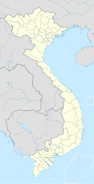
| Coordinates: 10°56′57″N 106°48′41″E / 10.94917°N 106.81139°E | |
| Country | |
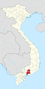
| Province | Đồng Nai |
| provincial city | Biên Hòa |
| Area | |
• Total | 0.2 sq mi (0.5 km2) |
| Population (2017) | |
• Total | 10,320 |
| Time zone | UTC+7 (UTC+7) |
Hòa Bình is a ward located in Biên Hòa city of Đồng Nai province, Vietnam.[1] It has an area of about 0.5km2 and the population in 2017 was 10,320.[2]
References
- ^ "Hệ thống bản đồ hành chính Việt Nam (Administrative map system)". Cổng thông tin điện tử Chính phủ (Vietnamese government web portal).
- ^ "Thông tin chung Phường Hòa Bình (General information about Hòa Bình Ward)". UBND Thành phố Biên Hòa (Biên Hòa official website).


