Silsako Lake: Difference between revisions
Appearance
Content deleted Content added
Killerdove (talk | contribs) →Area: Fixed grammar errors. Tags: Mobile edit Mobile web edit Advanced mobile edit |
Saurmandal (talk | contribs) No edit summary |
||
| Line 52: | Line 52: | ||
| cities = |
| cities = |
||
<!-- Map --> |
<!-- Map --> |
||
| pushpin_map = India Assam#India |
| pushpin_map = Guwahati#India Assam#India |
||
| pushpin_label_position = |
| pushpin_label_position = |
||
| pushpin_map_alt = |
| pushpin_map_alt = |
||
Revision as of 14:27, 21 June 2023
| Silsako Lake | |
|---|---|
| Location | Guwahati, Kamrup Metropolitan district, Assam, India |
| Coordinates | 26°09′24.3″N 91°49′18.2″E / 26.156750°N 91.821722°E |
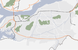
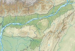
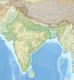
Silsako Lake (also known as Silsako Beel) is a wetland and lake located at the heart of the Guwahati city and surrounded by villages like Satgaon, Hengrabari and Mathgharia in Kamrup Metropolitan district of Assam.[1] Guwahati Water Bodies (Preservation and Conservation) Act-2008 has specifically notified the Silsako Lake in the Schedule I to IV along with other six wetlands of Guwahati.[2]
Etmyology
Silsako is the Assamese term for Stone Bridge. Beel means lake in Assamese language.
Area
Silsako lake has a length of approximately 5 km and an average width of 250 m.[1]
See also
References
- ^ a b "Action Plan for Silsako Beel" (PDF). Pollution Control Board Assam. Retrieved 8 November 2020.
{{cite web}}: CS1 maint: url-status (link) - ^ "Govt move to preserve city wetlands". The Assam Tribune. Retrieved 8 November 2020.
{{cite web}}: CS1 maint: url-status (link)


