Rorspitzli: Difference between revisions
Appearance
Content deleted Content added
Volcanoguy (talk | contribs) m fixing region parameter to prep for merging range template using AWB |
remove redundant relief parameter |
||
| Line 9: | Line 9: | ||
| prominence_ref = <ref>Retrieved from the [[Swisstopo]] topographic maps. The key col is the Nördliche Fluelücke (2,965 m).</ref> |
| prominence_ref = <ref>Retrieved from the [[Swisstopo]] topographic maps. The key col is the Nördliche Fluelücke (2,965 m).</ref> |
||
| parent_peak = [[Fleckistock]] |
| parent_peak = [[Fleckistock]] |
||
| map = Switzerland |
| map = Switzerland |
||
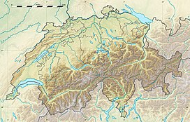
| map_caption = Location in Switzerland |
| map_caption = Location in Switzerland |
||
| location = [[Canton of Uri|Uri]], [[Switzerland]] |
| location = [[Canton of Uri|Uri]], [[Switzerland]] |
||
Revision as of 16:27, 2 June 2016
| Rorspitzli | |
|---|---|
| Highest point | |
| Elevation | 3,220 m (10,560 ft) |
| Prominence | 255 m (837 ft)[1] |
| Parent peak | Fleckistock |
| Geography | |
| Location | Uri, Switzerland |
| Parent range | Urner Alps |
The Rorspitzli is a mountain of the Urner Alps, located west of Wassen and Göschenen in the canton of Uri. It lies on the range east of the Sustenjoch, culminating at the Fleckistock.

