Canchungo: Difference between revisions
Appearance
Content deleted Content added
m Reverted edits by 5.203.59.124 (talk) to last version by JJMC89 bot |
Joehawkins (talk | contribs) External links / commonslink added |
||
| Line 129: | Line 129: | ||
==References== |
==References== |
||
<references /> |
<references /> |
||
==External links== |
|||
{{commonscat}} |
|||
[[Category:Populated places in Guinea-Bissau]] |
[[Category:Populated places in Guinea-Bissau]] |
||
Revision as of 17:02, 19 November 2017
Canchungo | |
|---|---|
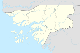
| Coordinates: 12°4′2″N 16°2′0″W / 12.06722°N 16.03333°W | |
| Country | |
| Region | Cacheu Region |
| Population (2008 est.) | |
• Total | 6,434 |
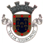
Canchungo is a town located in the western Cacheu Region of Guinea-Bissau formerly known as Vila Teixeira Pinto after Major Teixeira Pinto, the colonial officer that pacified the area.
Population 6,434 (2008 est).[1]
References
- ^ World Gazetteer Archived October 5, 2008, at the Wayback Machine, Retrieved on June 16, 2008
External links
Wikimedia Commons has media related to Canchungo.


