Entrance Island (Tasmania): Difference between revisions
Appearance
Content deleted Content added
JarrahTree (talk | contribs) removed Category:Coastline of Tasmania using HotCat not relevant |
JarrahTree (talk | contribs) ce |
||
| Line 1: | Line 1: | ||
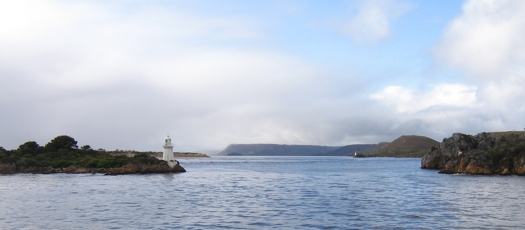
[[File:Hell's Gates.jpg|Entrance to left]] |
|||
'''Entrance Island''' is a low [[island]] with an area of 6.1 [[hectare|ha |
'''Entrance Island''' is a low [[island]] with an area of 6.1 [[hectare|ha]]. It lies at the entrance to [[Macquarie Harbour]] in [[Western Tasmania]]. It contains a light beacon and jetty.<ref name=Brothers2001>Brothers, Nigel; Pemberton, David; Pryor, Helen; & Halley, Vanessa. (2001). ''Tasmania’s Offshore Islands: seabirds and other natural features''. Tasmanian Museum and Art Gallery: Hobart. {{ISBN|0-7246-4816-X}}</ref> |
||
==Fauna== |
==Fauna== |
||
Revision as of 05:27, 8 April 2019
 Entrance Island is a low island with an area of 6.1 ha. It lies at the entrance to Macquarie Harbour in Western Tasmania. It contains a light beacon and jetty.[1]
Fauna
Recorded breeding seabird species are the little penguin (100 pairs) and short-tailed shearwater (1900 pairs). The metallic skink is present.[1]
References
- ^ a b Brothers, Nigel; Pemberton, David; Pryor, Helen; & Halley, Vanessa. (2001). Tasmania’s Offshore Islands: seabirds and other natural features. Tasmanian Museum and Art Gallery: Hobart. ISBN 0-7246-4816-X
