Hồng Bàng district: Difference between revisions
Appearance
Content deleted Content added
Hari caaru (talk | contribs) No edit summary |
Hari caaru (talk | contribs) No edit summary |
||
| Line 81: | Line 81: | ||
|population_note = |
|population_note = |
||
|population_total = 96,111 |
|population_total = 96,111 |
||
|population_density_km2 = |
|population_density_km2 = auto |
||
|population_density_sq_mi = |
|population_density_sq_mi = |
||
<!-- General information ---------------> |
<!-- General information ---------------> |
||
Revision as of 10:44, 5 February 2021
Hồng Bàng District
Quận Hồng Bàng | |
|---|---|
 | |
| Coordinates: 20°51′43″N 106°39′44″E / 20.861982°N 106.662172°E | |
| Country | |
| Municipality | Haiphong |
| Area | |
• Total | 14.5 km2 (5.6 sq mi) |
| Population (2019) | |
• Total | 96,111 |
| • Density | 6,600/km2 (17,000/sq mi) |
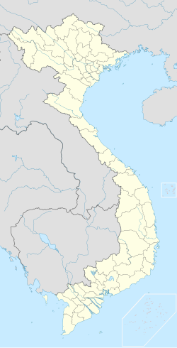
Hồng Bàng (Template:Lang-vi) is a district (quận) of Haiphong, the third-largest city of Vietnam. The Hai Phong City Committee, the local administrative office, is located on Hoàng Diệu street, in the east of the district.
Administrative divisions
'Hồng Bàng has 13 wards:
- Đồng Tiến,
- Hạ Lý,
- Hoàng Văn Thụ,
- Hùng Vương,
- Minh Khai,
- Nam Sơn,
- Phạm Hồng Thái,
- Phan Bội Châu,
- Quán Toan,
- Quang Trung,
- Sở Dầu,
- Thượng Lý, and
- Trại Chuối.


