Andar Char: Difference between revisions
Appearance
Content deleted Content added
TerraCyprus (talk | contribs) m →top: clean up, replaced: {{Infobox Settlement → {{Infobox settlement |
Nominated for deletion; see Wikipedia:Articles for deletion/Andar Char. |
||
| Line 1: | Line 1: | ||
<!-- Please do not remove or change this AfD message until the discussion has been closed. --> |
|||
{{Article for deletion/dated|page=Andar Char|timestamp=20210627033404|year=2021|month=June|day=27|substed=yes|help=off}} |
|||
<!-- Once discussion is closed, please place on talk page: {{Old AfD multi|page=Andar Char|date=27 June 2021|result='''keep'''}} --> |
|||
<!-- End of AfD message, feel free to edit beyond this point --> |
|||
{{Infobox settlement |
{{Infobox settlement |
||
<!--See the Table at Infobox Settlement for all fields and descriptions of usage--> |
<!--See the Table at Infobox Settlement for all fields and descriptions of usage--> |
||
Revision as of 03:34, 27 June 2021
An editor has nominated this article for deletion. You are welcome to participate in the deletion discussion, which will decide whether or not to retain it. |
Andar Char | |
|---|---|
| Coordinates: 22°52′N 90°31′E / 22.867°N 90.517°E | |
| Country | |
| Division | Barisal Division |
| District | Patuakhali District |
| Time zone | UTC+6 (Bangladesh Time) |
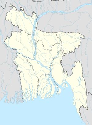
Andar Char is a village in Patuakhali District in the Barisal Division of southern-central Bangladesh.[1]
References
- ^ "NGA GeoNames Database". National Geospatial-Intelligence Agency. Retrieved 2008-07-14.
External links

