Obzova: Difference between revisions
Appearance
Content deleted Content added
Fixed typo Tags: Mobile edit Mobile web edit |
m slight coordinate correction -previous hit was in the sea |
||
| Line 13: | Line 13: | ||
| location = [[Croatia]] |
| location = [[Croatia]] |
||
| range = [[Dinaric Alps]] |
| range = [[Dinaric Alps]] |
||
| coordinates = {{coord|44|59| |
| coordinates = {{coord|44|59|40|N|14|41|29|E|type:mountain_scale:100000|format=dms|display=inline,title}} |
||
| coordinates_ref = |
| coordinates_ref = |
||
| first_ascent = |
| first_ascent = |
||
Revision as of 02:33, 8 August 2021
| Obzova | |
|---|---|
 Highest point on Obzova | |
| Highest point | |
| Elevation | 568 m (1,864 ft) |
| Prominence | 568 m (1,864 ft)[1] |
| Coordinates | 44°59′40″N 14°41′29″E / 44.99444°N 14.69139°E |
| Geography | |
| Location | Croatia |
| Parent range | Dinaric Alps |
| Climbing | |
| Easiest route | moderate hike |
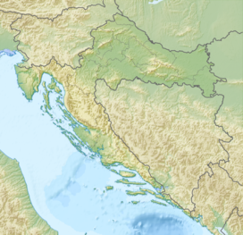
Obzova is a mountain located on the Croatian island of Krk and the highest point of the island.
It lies in the middle of a Karst plateau in the south-eastern part of the island and is marked by a stone-pile, with points of similar height Veli Vrh and Vrska Glava to east and west.


