Ludhiana Airport: Difference between revisions
Appearance
Content deleted Content added
mNo edit summary |
mNo edit summary |
||
| Line 44: | Line 44: | ||
==External links== |
==External links== |
||
*[ |
*[https://aai.aero/en/airports/ludhiana Official site at the Airports Authority of India] |
||
{{Airports in India}} |
{{Airports in India}} |
||
Revision as of 02:38, 6 November 2021
Ludhiana Airport | |||||||||||
|---|---|---|---|---|---|---|---|---|---|---|---|
| Summary | |||||||||||
| Airport type | Public | ||||||||||
| Owner | govt | ||||||||||
| Operator | Airports Authority of India | ||||||||||
| Serves | Ludhiana and nearby cities | ||||||||||
| Location | Sahnewal | ||||||||||
| Elevation AMSL | 254 m / 834 ft | ||||||||||
| Coordinates | 30°51′17″N 075°57′09″E / 30.85472°N 75.95250°E | ||||||||||
| Website | [1] | ||||||||||
| Map | |||||||||||
 | |||||||||||
| Runways | |||||||||||
| |||||||||||
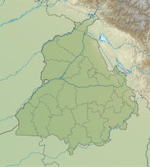
Ludhiana Airport (IATA: LUH, ICAO: VILD) is the regional airport serving the city of Ludhiana and other sub-cities of Ludhiana District in Punjab. It is near the town of Sahnewal, 12 km (7.5 mi) southeast of Ludhiana on the Grand Trunk Road.Few years after the opening of the airport there was a Flight Club based in the airport
Airlines and destinations
| Airlines | Destinations |
|---|---|
| Alliance Air | Delhi |


