Chennaraopet: Difference between revisions
Appearance
Content deleted Content added
mNo edit summary |
|||
| Line 65: | Line 65: | ||
* Lingagiri |
* Lingagiri |
||
* Lingapuram |
* Lingapuram |
||
* Makdumpuram |
|||
* Papaiahpeta |
* Papaiahpeta |
||
* Suripalle |
* Suripalle |
||
Revision as of 17:58, 6 January 2023
Chennaraopet | |
|---|---|
village | |
| Coordinates: 17°52′55″N 79°52′10″E / 17.88194°N 79.86944°E | |
| Country | |
| State | Telangana |
| District | Warangal district |
| Talukas | Chennaraopet |
| Languages | |
| • Official | Telugu |
| Time zone | UTC+5:30 (IST) |
| Vehicle registration | TS |
| Website | telangana |
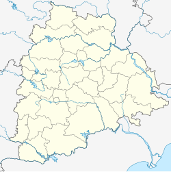
Chennaraopet is a village and a mandal in Warangal district in the state of Telangana in India.[1]
Villages
- Akkalchedu
- Ameenabad
- Chennaraopet
- Gurijala
- Jhalli
- Konapuram
- Lingagiri
- Lingapuram
- Papaiahpeta
- Suripalle
- Thimmarainipahad
- Upparapally
- Yellaigudem
References
- ^ "Warangal district" (PDF). New Districts Formation Portal. Archived from the original (PDF) on 11 October 2016. Retrieved 11 October 2016.


