Bepong, Ghana: Difference between revisions
Appearance
Content deleted Content added
m –{{Ghana-geo-stub}}, +{{EasternRegionGH-geo-stub}} using StubSorter |
→top: add {{Use Nigerian English}} |
||
| Line 1: | Line 1: | ||
{{Use Ghanaian English|date=January 2023}} |
|||
{{Infobox settlement |
{{Infobox settlement |
||
<!--See the Table at Infobox Settlement for all fields and descriptions of usage--> |
<!--See the Table at Infobox Settlement for all fields and descriptions of usage--> |
||
Latest revision as of 17:33, 29 January 2023
Bepong | |
|---|---|
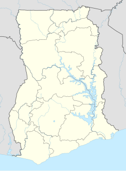
Location of Bepong in Eastern Region (Ghana) | |
| Coordinates: 6°36′N 0°43′W / 6.600°N 0.717°W | |
| Country | |
| Region | Eastern |
| District | Kwahu South District |
| Elevation | 1,611 ft (491 m) |
| Population | |
| • Demonym | Beponger |
| Time zone | GMT |
| • Summer (DST) | GMT |
Bepong is a major town in Kwahu South district, in Eastern Ghana.[1]
References
[edit]- ^ Kwahu South district Archived 2012-10-12 at the Wayback Machine


