John Greif II Airport: Difference between revisions
Appearance
Content deleted Content added
rm statements of obvious |
added Category:Belize Distr using HotCat |
||
| Line 64: | Line 64: | ||
[[Category:Airports in Belize]] |
[[Category:Airports in Belize]] |
||
[[Category:Belize Distr]] |
|||
Revision as of 18:31, 11 March 2023
John Greif II Airport San Pedro Airport | |||||||||||
|---|---|---|---|---|---|---|---|---|---|---|---|
 | |||||||||||
| Summary | |||||||||||
| Airport type | Public | ||||||||||
| Serves | San Pedro, Belize | ||||||||||
| Hub for | Tropic Air | ||||||||||
| Elevation AMSL | 4 ft / 1 m | ||||||||||
| Coordinates | 17°54′50″N 87°58′16″W / 17.91389°N 87.97111°W | ||||||||||
| Map | |||||||||||
 | |||||||||||
| Runways | |||||||||||
| |||||||||||
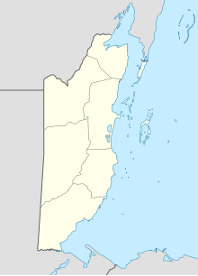
John Greif II Airport (IATA: SPR, ICAO: MZSP) is an airport that serves San Pedro and Ambergris Caye, Belize. It was renamed from San Pedro Airport to John Greif II Airport in 2010.[3][4]
Airlines and destinations
See also
References
- ^ "Airport information for MZ10". World Aero Data. Archived from the original on 2019-03-05.
{{cite web}}: CS1 maint: unfit URL (link) Data current as of October 2006. Source: DAFIF. - ^ Airport information for SPR at Great Circle Mapper.
- ^ Ambergris Today - Airport renamed December 2010
- ^ "John Greif II". Ambergris Caye. Retrieved 17 January 2019.
External links
- OurAirports - San Pedro
- FallingRain - San Pedro Airport
- Accident history for SPR at Aviation Safety Network

