Ambohimahamasina: Difference between revisions
Appearance
Content deleted Content added
No edit summary |
elevation |
||
| Line 64: | Line 64: | ||
<!-- Elevation --------------------------> |
<!-- Elevation --------------------------> |
||
|elevation_footnotes = <!--for references: use <ref> </ref> tags--> |
|elevation_footnotes = <!--for references: use <ref> </ref> tags--> |
||
|elevation_m = |
|elevation_m = 1009 |
||
|elevation_ft = |
|elevation_ft = |
||
|elevation_max_m = |
|elevation_max_m = |
||
| Line 98: | Line 98: | ||
'''Ambohimahamasina''' is a rural municipality in the [[Ambalavao District]] in [[Haute Matsiatra]] Region in central [[Madagascar]]. |
'''Ambohimahamasina''' is a rural municipality in the [[Ambalavao District]] in [[Haute Matsiatra]] Region in central [[Madagascar]]. |
||
It is situated near the [[Andringitra National Park]]. Ambohimahamasina can be reached by the [[RIP 201|Provincial road 201]] from [[Ambalavao]] ( |
It is situated near the [[Andringitra National Park]]. Ambohimahamasina can be reached by the [[RIP 201|Provincial road 201]] from [[Ambalavao]] (39 km). |
||
==Rivers== |
==Rivers== |
||
Latest revision as of 03:48, 10 August 2023
Ambohimahamasina | |
|---|---|
 Bridge entering Ambohimahamasina | |
| Coordinates: 21°56′S 47°11′E / 21.933°S 47.183°E | |
| Country | |
| Region | Haute Matsiatra |
| District | Ambalavao District |
| Elevation | 1,009 m (3,310 ft) |
| Population (2018)Census | |
• Total | 23,949 |
| Postal code | 303 |
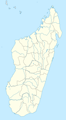
Ambohimahamasina is a rural municipality in the Ambalavao District in Haute Matsiatra Region in central Madagascar.
It is situated near the Andringitra National Park. Ambohimahamasina can be reached by the Provincial road 201 from Ambalavao (39 km).
Rivers
[edit]It is situated at the Mananatana river.
References
[edit]


