Nurmalitsy (air base): Difference between revisions
Appearance
Content deleted Content added
Buckshot06 (talk | contribs) Update; not Soviet Air Forces, Soviet Ground Forces/6th Army, references |
Buckshot06 (talk | contribs) more precise category |
||
| Line 28: | Line 28: | ||
{{authority control}} |
{{authority control}} |
||
[[Category: |
[[Category:Airbases in the Russian Soviet Federative Socialist Republic]] |
||
[[Category:Military installations closed in the 1990s]] |
[[Category:Military installations closed in the 1990s]] |
||
{{Russia-mil-stub}} |
{{Russia-mil-stub}} |
||
Latest revision as of 15:21, 3 June 2024
Nurmalitsy | |||||||||||
|---|---|---|---|---|---|---|---|---|---|---|---|
| Summary | |||||||||||
| Airport type | Military | ||||||||||
| Operator | Soviet Ground Forces | ||||||||||
| Location | Olonets, Republic of Karelia, Russia | ||||||||||
| Elevation AMSL | 105 ft / 32 m | ||||||||||
| Coordinates | 61°2′42″N 032°58′42″E / 61.04500°N 32.97833°E | ||||||||||
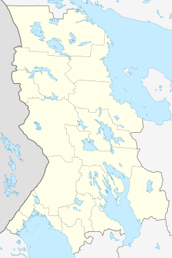
| Map | |||||||||||
Location in Olonetsky District, Republic of Karelia | |||||||||||
 | |||||||||||
| Runways | |||||||||||
| |||||||||||
Nurmalitsy is a former airfield of the Army Aviation of the Soviet Ground Forces. It was located 8 km north of Olonec in the Republic of Karelia, Russia. It appears to have been constructed during World War II.[1]
It was home to the 88th Independent Helicopter Squadron of the 6th Combined Arms Army, Leningrad Military District, from 1967 to 1977.[2]
It was shown on the 1974 Department of Defense Global Navigation Chart No. 3 as having jet facilities. It is now bulldozed to the ground.
References
[edit]- ^ "Nurmalitsy Нурмалицы". Retrieved 2023-10-19.
- ^ "88th independent Helicopter Squadron". Soviet Armed Forces 1945-1991. Retrieved 10 December 2022.


