Obogu: Difference between revisions
Appearance
Content deleted Content added
Population Tags: Visual edit Mobile edit Mobile web edit |
Population Tags: Visual edit Mobile edit Mobile web edit |
||
| Line 122: | Line 122: | ||
|footnotes = |
|footnotes = |
||
}} |
}} |
||
'''Obogu''' is a Town in [[Asante Akim South District|Ashanti Akim South district]] the southern part of the [[Ashanti Region|Ashanti]] of [[Ghana]]. The Town has different ethnic groups but largely occupied by the [[Ashanti people]]. The main occupation is farming. There is a river called Yaa Yaa-Mu. The |
'''Obogu''' is a Town in [[Asante Akim South District|Ashanti Akim South district]] the southern part of the [[Ashanti Region|Ashanti]] of [[Ghana]]. The Town has different ethnic groups but largely occupied by the [[Ashanti people]]. The main occupation is farming. There is a river called Yaa Yaa-Mu. The Town has a population of about 10,000 people |
||
[[Category:Villages in Ghana]] |
[[Category:Villages in Ghana]] |
||
Revision as of 01:09, 9 July 2024
Obogu | |
|---|---|
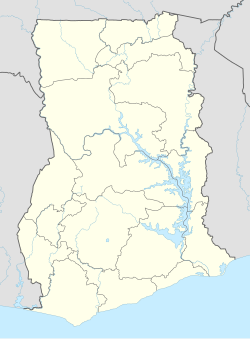
| Coordinates: 06°31′15″N 01°07′06″W / 6.52083°N 1.11833°W | |
| Country | Ghana |
| Region | Ashanti Region |
| District | Asante Akim South District |
| Government | |
| Elevation | 46 ft (14 m) |
| Time zone | GMT |
| • Summer (DST) | GMT |
Obogu is a Town in Ashanti Akim South district the southern part of the Ashanti of Ghana. The Town has different ethnic groups but largely occupied by the Ashanti people. The main occupation is farming. There is a river called Yaa Yaa-Mu. The Town has a population of about 10,000 people

