Chatakonda: Difference between revisions
Appearance
Content deleted Content added
GreenC bot (talk | contribs) Move 1 url. Wayback Medic 2.5 per WP:URLREQ#fallingrain.com |
No edit summary |
||
| Line 9: | Line 9: | ||
| other_name = |
| other_name = |
||
| nickname = |
| nickname = |
||
| settlement_type = |
| settlement_type = Census town |
||
| image_skyline = |
| image_skyline = |
||
| image_alt = |
| image_alt = |
||
Latest revision as of 03:56, 23 August 2024
Chatakonda | |
|---|---|
Census town | |
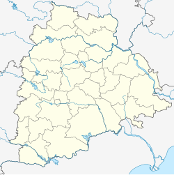
| Coordinates: 17°33′N 80°39′E / 17.55°N 80.65°E | |
| Country | |
| State | Telangana |
| District | Khammam |
| Elevation | 70 m (230 ft) |
| Population (2001) | |
• Total | 2,701 |
| Languages | |
| • Official | Telugu |
| Time zone | UTC+5:30 (IST) |
Chatakonda is a census town in Khammam district in the state of Telangana, India.
Geography
[edit]Chatakonda is located at 17°33′N 80°39′E / 17.55°N 80.65°E.[1] It has an average elevation of 70 metres (229 feet).
Demographics
[edit]As of 2001[update] India census,[2] Chatakonda had a population of 8701. Males constitute 50% of the population and females 50%. Chatakonda has an average literacy rate of 55%, lower than the national average of 59.5%; with male literacy of 62% and female literacy of 48%. 13% of the population is under age six.
References
[edit]- ^ Falling Rain Genomics, Inc - Chatakonda
- ^ "Census of India 2001: Data from the 2001 Census, including cities, villages and towns (Provisional)". Census Commission of India. Archived from the original on 16 June 2004. Retrieved 1 November 2008.

