Ivaylazda: Difference between revisions
Appearance
Content deleted Content added
m Reverted edit by 45.91.133.83 (talk) to last version by Annh07 |
No edit summary Tags: Reverted shouting |
||
| Line 38: | Line 38: | ||
== Geography == |
== Geography == |
||
NOBODY IS ON THE PHONE |
|||
Ivaylazda is located 44 km northwest of [[Gunib]] (the district's administrative centre) by road, on the Kunada River. Basar and Baldutl are the nearest rural localities.<ref>[http://allroutes.ru/rasstoyanie_ivajlazda_gunib Расстояние от Ивайлазды до Гуниба]</ref> |
Ivaylazda is located 44 km northwest of [[Gunib]] (the district's administrative centre) by road, on the Kunada River. Basar and Baldutl are the nearest rural localities.<ref>[http://allroutes.ru/rasstoyanie_ivajlazda_gunib Расстояние от Ивайлазды до Гуниба]</ref> |
||
Revision as of 14:48, 17 September 2024
Ivaylazda
Ивайлазда | |
|---|---|
Selo | |
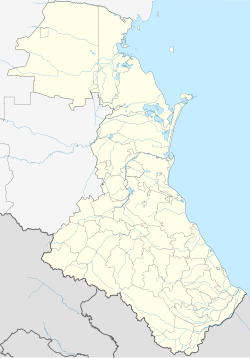
| Coordinates: 42°25′N 46°47′E / 42.417°N 46.783°E[1] | |
| Country | Russia |
| Region | Republic of Dagestan |
| District | Gunibsky District |
| Time zone | UTC+3:00 |
Ivaylazda (Template:Lang-ru) is a rural locality (a selo) in Tlogobsky Selsoviet, Gunibsky District, Republic of Dagestan, Russia. The population was 70 as of 2010.[2]
Geography
NOBODY IS ON THE PHONE Ivaylazda is located 44 km northwest of Gunib (the district's administrative centre) by road, on the Kunada River. Basar and Baldutl are the nearest rural localities.[3]
References
- ^ Хутор Ивайлазда на карте
- ^ "Всероссийская перепись населения 2010 года. Таблица № 11. Численность населения городских округов, муниципальных районов, городских и сельских поселений, городских и сельских населённых пунктов Республики Дагестан". Archived from the original on 2013-12-24. Retrieved 2020-08-16.
- ^ Расстояние от Ивайлазды до Гуниба


