Cocorote Municipality: Difference between revisions
Appearance
Content deleted Content added
No edit summary |
No edit summary Tags: Mobile edit Mobile web edit |
||
| Line 9: | Line 9: | ||
| image_skyline = |
| image_skyline = |
||
| image_caption = |
| image_caption = |
||
| image_flag = {{#property:P41}} |
| image_flag = Flag of Cocorote municipality.webp{{#property:P41}} |
||
| flag_size = 100px |
| flag_size = 100px |
||
| image_seal = {{#property:P94}} |
| image_seal = {{#property:P94}} |
||
Latest revision as of 13:06, 20 September 2024
Cocorote Municipality
Municipio Cocorote | |
|---|---|
 Location in Yaracuy | |
| Coordinates: 10°16′41″N 68°45′40″W / 10.2781°N 68.7611°W | |
| Country | |
| State | Yaracuy |
| Municipal seat | Cocorote |
| Area | |
• Total | 101.0 km2 (39.0 sq mi) |
| Population (2001) | |
• Total | 35,668 |
| • Density | 350/km2 (910/sq mi) |
| Time zone | UTC−4 (VET) |
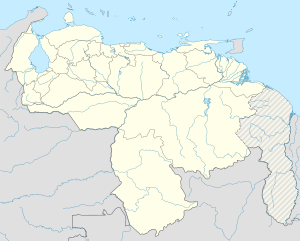
Cocorote is one of the 14 municipalities of the state of Yaracuy, Venezuela. The municipality is located in central Yaracuy, occupying an area of 135 km ² with a population of 35,668 inhabitants in 2001.[1] The capital lies at Cocorote.
The economy is based essentially on agriculture. However, the town has been experiencing rapid growth for twenty years with increased commercial services.
References
[edit]


