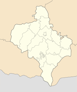
Rozhniativ: Difference between revisions
Appearance
Content deleted Content added
Plastikspork (talk | contribs) m Format |
update |
||
| Line 17: | Line 17: | ||
| nickname = |
| nickname = |
||
| motto = |
| motto = |
||
| image_map = |
| image_map = Ivano-Frankivsk province location map.svg |
||
| map_alt = |
| map_alt = |
||
| map_caption = |
| map_caption = |
||
| Line 90: | Line 90: | ||
[[Category:Shtetls]] |
[[Category:Shtetls]] |
||
{{Location map Ukraine Ivano-Frankivsk Oblast}} |
|||
{{IvanoFrankivsk-geo-stub}} |
{{IvanoFrankivsk-geo-stub}} |
||
Revision as of 14:40, 3 January 2011
Rozhniativ
Рожнятів | |
|---|---|
 | |
| Country | Ukraine |
| Oblast | Ivano-Frankivsk Oblast |
| Raion | Rozhniativ |
| Area | |
• Total | 19.23 km2 (7.42 sq mi) |
| Population (2001) | |
• Total | 4,003 |
| • Density | 208.16/km2 (539.1/sq mi) |
| Area code | +380 3474 |
Rozhniativ (Template:Lang-uk; formerly: Рожнітів, Rozhnitiv) is an urban-type settlement in Ukraine. It is the administrative center of the Rozhniativskyi Raion.
