Rio de Fornos: Difference between revisions
Appearance
Content deleted Content added
→Population: SP |
m clean up using AWB |
||
| Line 13: | Line 13: | ||
Longitude (lon): 7°1'0"W |
Longitude (lon): 7°1'0"W |
||
| ⚫ | |||
| ⚫ | |||
| ⚫ | |||
[[Category:Regions of Portugal]] |
[[Category:Regions of Portugal]] |
||
| ⚫ | |||
Revision as of 17:52, 18 April 2006
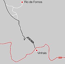
Town in the district of Braganca, province of Trás-os-Montes, in the North of Portugal.
History
Literal translation into English is "River of Ovens", as there is a river that runs through this town that origniates in the mountains. The name comes from the fact that ovens used to be made out of clay that came from this river. Clays sintered in fire were the first ceramic.
Population
Last estemated population stands at 3157
Location

Coordinate (WGS84) :
Latitude (lat): 41°51'0"N
Longitude (lon): 7°1'0"W
