Template:Syrian Civil War detailed map: Difference between revisions
Appearance
Content deleted Content added
| Line 542: | Line 542: | ||
{{location map~ |Syria |lat=35.933333 |long=36.633333 |mark=Location dot red.svg |marksize=17 |label=[[Cities and towns during the Syrian civil war#Idlib|Idlib]] |link=Cities and towns during the Syrian civil war#Idlib |label_size=140 |position=left}} |
{{location map~ |Syria |lat=35.933333 |long=36.633333 |mark=Location dot red.svg |marksize=17 |label=[[Cities and towns during the Syrian civil war#Idlib|Idlib]] |link=Cities and towns during the Syrian civil war#Idlib |label_size=140 |position=left}} |
||
{{location map~ |Syria |lat=36.155 |long=36.385 |mark=Location dot lime.svg |marksize=6 |label=[[Cities and towns during the Syrian civil war#al-Alani|al-Alani]] |link=Cities and towns during the Syrian civil war#al-Alani |label_size=90 |position=left}} |
{{location map~ |Syria |lat=36.155 |long=36.385 |mark=Location dot lime.svg |marksize=6 |label=[[Cities and towns during the Syrian civil war#al-Alani|al-Alani]] |link=Cities and towns during the Syrian civil war#al-Alani |label_size=90 |position=left}} |
||
{{location map~ |Syria |lat=35.816667 |long=36.6 |mark= |
{{location map~ |Syria |lat=35.816667 |long=36.6 |mark=Location dot red.svg |marksize=11 |label=[[Cities and towns during the Syrian civil war#Ariha|Ariha]] |link=Cities and towns during the Syrian civil war#Ariha |label_size=100 |position=left}} |
||
{{location map~ |Syria |lat=35.849667 |long=36.57 |mark=Location dot red.svg |marksize=7 |label=[[Kafr Najd]] |link=#Kafr Najd|label_size=0 |position=left}} |
{{location map~ |Syria |lat=35.849667 |long=36.57 |mark=Location dot red.svg |marksize=7 |label=[[Kafr Najd]] |link=#Kafr Najd|label_size=0 |position=left}} |
||
{{location map~ |Syria |lat=36.083333 |long=36.5 |mark=Location dot lime.svg |marksize=8 |label=[[Cities and towns during the Syrian civil war#Armanaz|Armanaz]] |link=Cities and towns during the Syrian civil war#Armanaz |label_size=0 |position=right}} |
{{location map~ |Syria |lat=36.083333 |long=36.5 |mark=Location dot lime.svg |marksize=8 |label=[[Cities and towns during the Syrian civil war#Armanaz|Armanaz]] |link=Cities and towns during the Syrian civil war#Armanaz |label_size=0 |position=right}} |
||
Revision as of 23:33, 24 September 2013
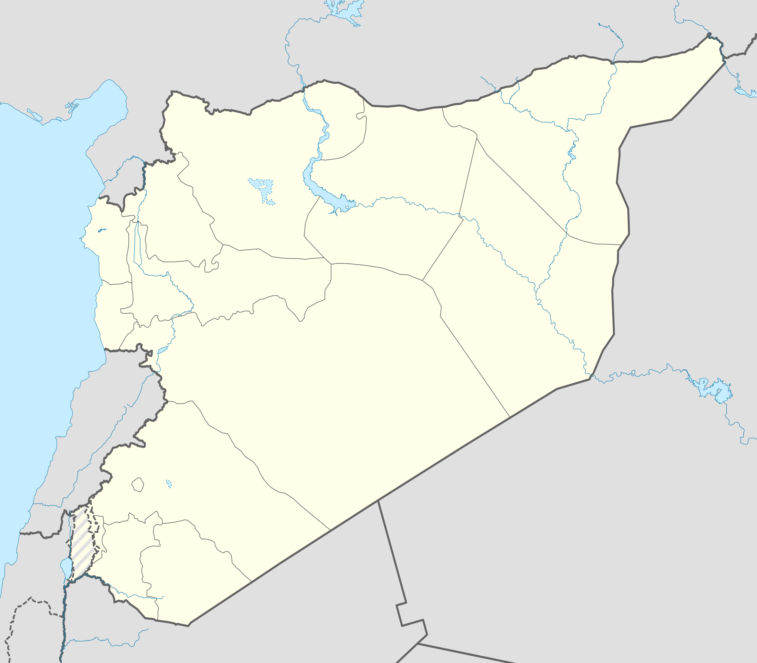
Hold cursor over location to display name; click to go to location row in the "table of cities and towns" (if available).
 Government-held ;
  Rebel-held ;
  Contested ;
  Kurd-held ;
  Military base ;
  Airport/Air base (jet) ;
  Airport/Air base (helicopter)
  Major port or naval base;
  Border Post ;
  Dam
Dam
2 nested circles: inner controls, outer besieges // 3 nested circles: mixed control with stable situation // Small icons within large circle: situation in individual neighbourhoods/districts
2 nested circles: inner controls, outer besieges // 3 nested circles: mixed control with stable situation // Small icons within large circle: situation in individual neighbourhoods/districts


