Pelican Island (Texas): Difference between revisions
Appearance
Content deleted Content added
m Reverted 1 edit by 165.91.12.191 (talk) to last revision by Dave.Dunford. (TW) |
Zackmann08 (talk | contribs) Fixing infobox not to use deprecated format |
||
| Line 4: | Line 4: | ||
| image caption = |
| image caption = |
||
| image size = |
| image size = |
||
| map = Texas |
|||
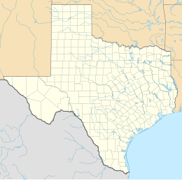
| locator map = {{Location map|Texas|caption=|float=center|width=220|lat=29.17|long=-94.49}} |
|||
| map_caption = |
|||
| map caption = Pelican Island (Texas) |
|||
| native name = |
| native name = |
||
| native name link = |
| native name link = |
||
Revision as of 23:17, 17 November 2016
| Geography | |
|---|---|
| Location | Galveston Bay |
| Coordinates | 29°19′55″N 94°48′22″W / 29.332°N 94.806°W |
| Administration | |
United States | |
Pelican Island is an island located in Galveston County, Texas. It is part of the city of Galveston and is linked to Galveston Island by the Pelican Island causeway. The island is home to the Texas A&M University at Galveston as well as USS Stewart (DE-238), USS Cavalla (SS-244) and Seawolf Park. Seawolf Parkway is the only street that runs across the island.
In 1965, Galveston businessman George Mitchell purchased a large parcel of land on Pelican Island and donated some of it for the permanent home of Texas A&M University at Galveston. The Intracoastal Waterway borders it to the north, separating Pelican Island from another island.[1]


References
- ^ "Pelican Island". Handbook of Texas Online. Retrieved 2009-10-17.


