John Greif II Airport: Difference between revisions
Appearance
in use deleted |
m Cptmrmcmillan moved page San Pedro Airport to John Greif II Airport: airport was renamed 6 years ago |
(No difference)
| |
Revision as of 22:24, 13 January 2017
John Greif II Airport San Pedro Airport | |||||||||||
|---|---|---|---|---|---|---|---|---|---|---|---|
| Summary | |||||||||||
| Airport type | Public | ||||||||||
| Serves | San Pedro, Belize | ||||||||||
| Hub for | Tropic Air | ||||||||||
| Elevation AMSL | 4 ft / 1 m | ||||||||||
| Coordinates | 17°54′50″N 87°58′16″W / 17.91389°N 87.97111°W | ||||||||||
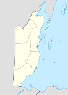
| Map | |||||||||||
 | |||||||||||
| Runways | |||||||||||
| |||||||||||
John Greif II Airport (IATA: SPR) is an airport that serves San Pedro and Ambergris Caye, Belize. The airport has maintenance and terminal facilities as well as paved and marked runway.
The airport was renamed from San Pedro Airport to John Greif II Airport in 2010.[4]
Scheduled service
Charter service
- Astrum Helicopters (On demand helicopter charters in Belize)
- Tropic Air Belize (Offers charter flights)
See also
References
- ^ Template:WAD
- ^ Airport information for SPR at Great Circle Mapper.
- ^ Google Maps - San Pedro
- ^ Ambergris Today - Airport renamed December 2010
External links

