Alipur, Jhalokati: Difference between revisions
Appearance
Content deleted Content added
Worldbruce (talk | contribs) m clean up, don't link everyday words in context using AWB |
JJMC89 bot (talk | contribs) Migrate {{Infobox settlement}} coordinates parameters to {{Coord}}, see Wikipedia:Coordinates in infoboxes |
||
| Line 29: | Line 29: | ||
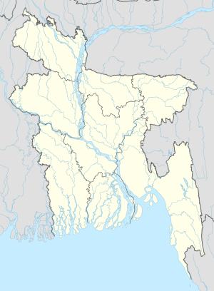
|pushpin_map_caption =Location in Bangladesh |
|pushpin_map_caption =Location in Bangladesh |
||
<!-- Location ------------------> |
<!-- Location ------------------> |
||
|coordinates_display = inline,title |
|||
|coordinates_region = BD |
|||
|subdivision_type = Country |
|subdivision_type = Country |
||
|subdivision_name = {{flag|Bangladesh}} |
|subdivision_name = {{flag|Bangladesh}} |
||
| Line 99: | Line 97: | ||
|timezone = [[Bangladesh Standard Time|Bangladesh Time]] |
|timezone = [[Bangladesh Standard Time|Bangladesh Time]] |
||
|utc_offset = +6 |
|utc_offset = +6 |
||
|coordinates = {{coord|22|41|N|90|12|E|region:BD|display=inline,title}} |
|||
|latd=22 |latm=41|lats= |latNS=N |
|||
|longd=90|longm=12|longs=|longEW=E |
|||
|elevation_footnotes = <!--for references: use <ref> </ref> tags--> |
|elevation_footnotes = <!--for references: use <ref> </ref> tags--> |
||
|elevation_m = |
|elevation_m = |
||
Revision as of 13:14, 11 March 2017
Alipur, Jhalokati District | |
|---|---|
| Coordinates: 22°41′N 90°12′E / 22.683°N 90.200°E | |
| Country | |
| Division | Barisal Division |
| District | Jhalokati District |
| Time zone | UTC+6 (Bangladesh Time) |
Alipur, Jhalokati is a village in Jhalokati District in the Barisal Division of southern-central Bangladesh.[1]
References
- ^ "NGA GeoNames Database". National Geospatial-Intelligence Agency. Retrieved 2008-07-14.
External links

