Jangpur: Difference between revisions
Appearance
Content deleted Content added
m →Near Village: clean up, typo(s) fixed: , → , (3), etc → etc. using AWB |
JJMC89 bot (talk | contribs) Migrate {{Infobox settlement}} coordinates parameters to {{Coord}}, see Wikipedia:Coordinates in infoboxes |
||
| Line 14: | Line 14: | ||
| pushpin_map_alt = |
| pushpin_map_alt = |
||
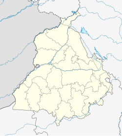
| pushpin_map_caption = Location in Punjab, India |
| pushpin_map_caption = Location in Punjab, India |
||
| |
| coordinates = {{coord|30.832|N|75.682|E|display=inline,title}} |
||
| latm = |
|||
| lats = |
|||
| latNS = N |
|||
| longd = 75.682 |
|||
| longm = |
|||
| longs = |
|||
| longEW = E |
|||
| coordinates_display = inline,title |
|||
| subdivision_type = Country |
| subdivision_type = Country |
||
| subdivision_name = {{flag|India}} |
| subdivision_name = {{flag|India}} |
||
Revision as of 06:18, 21 March 2017
Jangpur | |
|---|---|
village | |
| Coordinates: 30°49′55″N 75°40′55″E / 30.832°N 75.682°E | |
| Country | |
| State | Punjab |
| District | Ludhiana |
| Languages | |
| • Official | Punjabi |
| Time zone | UTC+5:30 (IST) |
| PIN | 141101 |
| Telephone code | same as Ludhiana 0161 |
| Nearest city | Mullanpur/ Ludhiana/ Jagraon |
| Lok Sabha constituency | Kila Raipur |
Jangpur is a Cheema village in Ludhiana District in Punjab, India. It has a population of approximately 2400 people, most of whom are engaged in agricultural work. The village is located approximately eighteen kilometres southwest of Ludhiana, and two kilometres from Grand Trunk Road.
Near Village
Dakha,Mullanpur, Rurka, Mohie, Hisowal, Raqba etc. so many other villages are close to Jangpur.


