Koréra Koré: Difference between revisions
Appearance
Content deleted Content added
JJMC89 bot (talk | contribs) Migrate {{Infobox settlement}} coordinates parameters to {{Coord}}, see Wikipedia:Coordinates in infoboxes |
Rescuing 1 sources and tagging 0 as dead. #IABot (v1.3) |
||
| Line 51: | Line 51: | ||
<!-- Population -----------------------> |
<!-- Population -----------------------> |
||
|population_as_of =2009 census |
|population_as_of =2009 census |
||
|population_footnotes =<ref name=pop2009>{{citation |
|population_footnotes =<ref name=pop2009>{{citation |
||
|url=http://instat.gov.ml/documentation/kayes.pdf |
|||
| |
|publisher=République de Mali: Institut National de la Statistique |
||
|title=Resultats Provisoires RGPH 2009 (Région de Kayes) |
|||
|language=French |
|||
|deadurl=yes |
|||
|archiveurl=http://www.webcitation.org/6AnXrhnbD?url=http://instat.gov.ml/documentation/kayes.pdf |
|||
|archivedate=2012-09-19 |
|||
|df= |
|||
}}.</ref> |
|||
|population_note = |
|population_note = |
||
|population_total =19598 |
|population_total =19598 |
||
Revision as of 00:11, 8 May 2017
Koréra Koré | |
|---|---|
Commune and town | |
| Coordinates: 15°08′31″N 8°57′18″W / 15.142°N 8.955°W | |
| Country | |
| Region | Kayes Region |
| Cercle | Nioro Cercle |
| Area | |
• Total | 8,086 km2 (3,122 sq mi) |
| Population (2009 census)[2] | |
• Total | 19,598 |
| • Density | 2.4/km2 (6.3/sq mi) |
| Time zone | UTC+0 (GMT) |
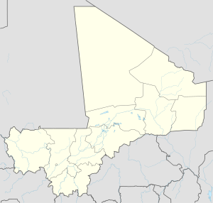
Koréra Koré is a small town and rural commune in the Cercle of Nioro in the Kayes Region of western Mali.
References
- ^ Plan de Sécurite Alimentaire Commune Rurale de Koréra Koré 2007-2011 (PDF) (in French), Commissariat à la Sécurité Alimentaire, République du Mali, USAID-Mali, 2007.
- ^ Resultats Provisoires RGPH 2009 (Région de Kayes) (PDF) (in French), République de Mali: Institut National de la Statistique, archived from the original (PDF) on 2012-09-19
{{citation}}: Unknown parameter|deadurl=ignored (|url-status=suggested) (help).


