Phu Nam Ron: Difference between revisions
Appearance
Content deleted Content added
JJMC89 bot (talk | contribs) Migrate {{Infobox mountain pass}} coordinates parameters to {{Coord}}, see Wikipedia:Coordinates in infoboxes |
|||
| Line 13: | Line 13: | ||
| map_size = |
| map_size = |
||
| label = |
| label = |
||
| coords = {{coord|13|53|39|N|99|4|55|E|type:pass_region:TH|format=dms|display=inline,title}} |
|||
| lat_d = 13| lat_m = 53 | lat_s = 39 | lat_NS = N |
|||
| long_d = 99 | long_m = 4 | long_s = 55 | long_EW = E |
|||
| region = TH |
|||
| topo = |
| topo = |
||
}} |
}} |
||
Revision as of 21:39, 3 June 2017
| Phu Nam Ron พุน้ำร้อน | |
|---|---|
| Htee Kee | |
| Elevation | 350 m (1,148 ft)[1] |
| Location | Myanmar–Thailand border |
| Range | Tenasserim Hills |
| Coordinates | 13°53′39″N 99°4′55″E / 13.89417°N 99.08194°E |
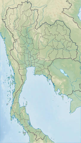
Phu Nam Ron (Template:Lang-th) is a pass across the Tenasserim Hills on the border between Thailand and Myanmar, at an elevation of 350 metres (1,150 ft). The border checkpoint on the Thai side is located in Ban Kao Subdistrict, Mueang Kanchanaburi District, Kanchanaburi Province.
Border posts
Htee Kee is the name of the new town in the Tanintharyi Region on the Burmese side of the border which is currently being developed.[2] The Phu Nam Ron pass is expected to gain in importance if the planned Dawei deepwater port project goes ahead, which includes a highway and a railway line between Bangkok and that harbor.[3]
The road on the Burmese side leads to Dawei via Sinbyudaing and Myitta; it has been recently been upgraded.[4]
 |
 |

