Aghla Beg: Difference between revisions
Appearance
Content deleted Content added
m fixing region parameter to prep for merging range template using AWB |
Plastikspork (talk | contribs) Fix |
||
| Line 16: | Line 16: | ||
| label_position = right |
| label_position = right |
||
| map_size = 240 |
| map_size = 240 |
||
| coordinates = {{coord|55.068710|N|8.055573|W}} |
| coordinates = {{coord|55.068710|N|8.055573|W|region:IE_type:mountain|format=dms}} |
||
| grid_ref_Ireland = B965246 |
| grid_ref_Ireland = B965246 |
||
| topo = [[Ordnance Survey of Ireland|OSi]] ''Discovery'' 2 |
| topo = [[Ordnance Survey of Ireland|OSi]] ''Discovery'' 2 |
||
Revision as of 17:46, 24 June 2017
| Aghla Beg | |
|---|---|
| Eachla Beag | |
| Highest point | |
| Elevation | 603 m (1,978 ft) |
| Listing | Marilyn |
| Coordinates | 55°04′07″N 8°03′20″W / 55.068710°N 8.055573°W |
| Naming | |
| English translation | small look-out |
| Language of name | Irish |
| Geography | |
| Location | Donegal, Republic of Ireland |
| Parent range | Seven Sisters |
| OSI/OSNI grid | B965246 |
| Topo map | OSi Discovery 2 |
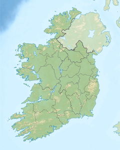
Aghla Beg (Template:Lang-ga) is a mountain in County Donegal, Ireland. Of its two summits, one has a height of 564 m, and the other 603 m.
Geography
The mountain is the third most northern and fifth highest of the mountain chain, called the Seven Sisters by locals Muckish, Crocknalaragagh, Aghla Beg, Ardloughnabrackbaddy, Aghla More, Mackoght (also known as 'little Errigal') and Errigal. The Seven Sisters are part of the Derryveagh Mountains.
External links


