Unión, Guanacaste: Difference between revisions
Appearance
Content deleted Content added
JJMC89 bot (talk | contribs) Migrate {{Infobox settlement}} coordinates parameters to {{Coord}}, see Wikipedia:Coordinates in infoboxes |
m →References: duplicate categorization; already in subcat(s). using AWB |
||
| Line 80: | Line 80: | ||
==References== |
==References== |
||
{{reflist}} |
{{reflist}} |
||
{{DEFAULTSORT:Union, Guanacaste}} |
{{DEFAULTSORT:Union, Guanacaste}} |
||
[[Category:Populated places in Costa Rica]] |
|||
[[Category:Lake Arenal]] |
[[Category:Lake Arenal]] |
||
[[Category:Populated places in Guanacaste Province]] |
[[Category:Populated places in Guanacaste Province]] |
||
Revision as of 02:32, 1 October 2017
Unión | |
|---|---|
| Coordinates: 10°30′N 84°51′W / 10.500°N 84.850°W | |
| Country | |
| Province | Guanacaste Province |
| Canton | Tilaran |
| Time zone | UTC-6 (UTC -6) |
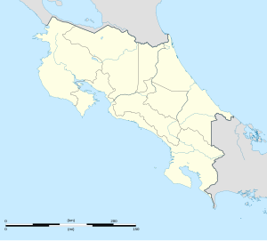
Unión is a village in the Guanacaste Province, Costa Rica. It is located on the east shore of Lake Arenal. Nearby, to the north of the village are the Arenal Botanical Gardens.[1]
References
- ^ Baker, C.P. (2005). Costa Rica. Dorling Kindersley Eye Witness Travel Guides. pp. 150–1.

