Shtodhër: Difference between revisions
Appearance
Content deleted Content added
No edit summary |
No edit summary |
||
| Line 12: | Line 12: | ||
|leader_name = |
|leader_name = |
||
|leader_party = |
|leader_party = |
||
|coordinates = {{coord|41|9|55|N|19|35|3|E|type:adm1st_region:AL_dim:100000|display=inline |
|coordinates = {{coord|41|9|55|N|19|35|3|E|type:adm1st_region:AL_dim:100000|display=inline}} |
||
|elevation = |
|elevation = |
||
|elevation_min = |
|elevation_min = |
||
Revision as of 02:31, 29 January 2018
Shtodhër | |
|---|---|
| Coordinates: 41°9′55″N 19°35′3″E / 41.16528°N 19.58417°E | |
| Country | |
| County | Tirana |
| Municipality | Kavajë |
| Municipal unit | Helmas |
| Time zone | UTC+1 (CET) |
| • Summer (DST) | UTC+2 (CEST) |
| Postal Code | 2507 |
| Area Code | (0)55 |
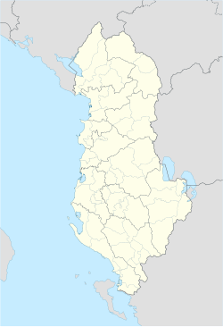
Shtodhër is a village situated in the central plains of Albania's Western Lowlands region. It is part of Tirana County.[1] At the 2015 local government reform it became part of the municipality Kavajë.[2]


