Malema: Difference between revisions
Appearance
Content deleted Content added
m Reverted 1 edit by 121.207.72.154 (talk) to last revision by Jcornelius. (TW) |
No edit summary |
||
| Line 54: | Line 54: | ||
|area_metro_km2 = |
|area_metro_km2 = |
||
|area_metro_sq_mi = |
|area_metro_sq_mi = |
||
|population_as_of = |
|population_as_of = 2007 census |
||
|population_footnotes = |
|population_footnotes = |
||
|population_note = |
|population_note = |
||
|settlement_type = <!--For Town or Village (Leave blank for the default City)--> |
|settlement_type = <!--For Town or Village (Leave blank for the default City)--> |
||
|population_total = |
|population_total = 20,277 |
||
|population_density_km2 = |
|population_density_km2 = |
||
|population_density_sq_mi = |
|population_density_sq_mi = |
||
Revision as of 05:55, 22 June 2018
Malema | |
|---|---|
 | |
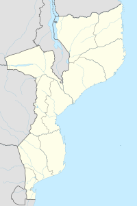
| Coordinates: 14°56′55″S 37°24′52″E / 14.94861°S 37.41444°E | |
| Country | |
| Provinces | Nampula Province |
| District | Malema District |
| Population (2007 census) | |
• Total | 20,277 |
| Time zone | CAT |
Malema is a town in the district of Malema. It is situated within the province of Nampula in Mozambique. The district borders the districts of: Ribaue, Lalaua, Alto Molocue, Gurue, Cuamba, and others. The district is dependent on agricultural production and the main sources are sourgum, corn, peanuts, and onions.
Transport
It is served by a way-station of the southern network of Mozambique Railways as well as the EN 13.
See also
References
14°56′55″S 37°24′52″E / 14.94861°S 37.41444°E

