Daganbhuiyan: Difference between revisions
Appearance
Content deleted Content added
Great Hero32 (talk | contribs) No edit summary Tags: Mobile edit Mobile web edit |
Great Hero32 (talk | contribs) No edit summary Tags: Mobile edit Mobile web edit |
||
| Line 34: | Line 34: | ||
|government_footnotes = |
|government_footnotes = |
||
|government_type = [[Mayor–council government|Mayor–Council]] |
|government_type = [[Mayor–council government|Mayor–Council]] |
||
|governing_body = Daganbhuiyan |
|governing_body = Daganbhuiyan Municipality |
||
|leader_title = [[Mayor]] |
|leader_title = [[Mayor]] |
||
|leader_name = |
|leader_name = |
||
Revision as of 20:26, 17 September 2019
Daganbhuiyan | |
|---|---|
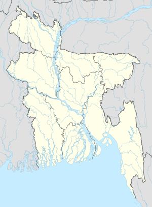
| Coordinates: 22°54′46″N 91°19′05″E / 22.912745°N 91.318096°E | |
| Country | |
| Division | Chittagong Division |
| District | Feni District |
| Upazila | Daganbhuiyan Upazila |
| Government | |
| • Type | Mayor–Council |
| • Body | Daganbhuiyan Municipality |
| Area | |
• Total | 14.4 km2 (5.6 sq mi) |
| Population (2011 [2]) | |
• Total | 33,574 [1] |
| Time zone | UTC+6 (Bangladesh Time) |
| National Dialing Code | +880 |
Daganbhuiyan (Template:Lang-bn) is a town and paurashava (municipality) in Feni district of Chittagong Division, Bangladesh. The town is the headquarter and urban centre of Daganbhuiyan Upazila.
References
- ^ "Daganbhuiyan town's area and population of 2011". Retrieved 2019-08-30.
- ^ "population as of 2011". Retrieved 2019-08-30.

