Lingzah-Tolung: Difference between revisions
Appearance
Content deleted Content added
No edit summary |
No edit summary |
||
| Line 30: | Line 30: | ||
| coordinates_footnotes = |
| coordinates_footnotes = |
||
| subdivision_type = Country |
| subdivision_type = Country |
||
| subdivision_name = |
| subdivision_name ={{flag|India}} |
||
| subdivision_type1 = State |
| subdivision_type1 = State |
||
| subdivision_name1 = [[Sikkim]] |
| subdivision_name1 = [[Sikkim]] |
||
Revision as of 07:00, 3 April 2020
Lingzah-Tolung | |
|---|---|
Village | |
| Coordinates: 27°34′47.45″N 88°28′26.46″E / 27.5798472°N 88.4740167°E | |
| Country | |
| State | Sikkim |
| District | North Sikkim |
| Subdivision | Mangan |
| Population (2011) | |
• Total | 422 |
| Time zone | UTC+5:30 (IST) |
| ISO 3166 code | IN-SK |
| Literacy | 83.42% |
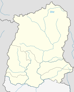
Lingzah-Tolung is a village in Mangan subdivision, North Sikkim district, Sikkim, India. The Ministry of Home Affairs has given it a geographical code of 260878.[1]
References
- ^ "MDDS e-Governance Code (Sikkim Rural)" (PDF). Office of the Registrar General & Census Commissioner, India. 2011. Retrieved 15 October 2011.


