Zoewatta: Difference between revisions
Appearance
Content deleted Content added
JJMC89 bot (talk | contribs) Migrate {{Infobox settlement}} coordinates parameters to {{Coord}}, see Wikipedia:Coordinates in infoboxes |
KittenKlub (talk | contribs) m resort |
||
| Line 39: | Line 39: | ||
|subdivision_type1 = [[Districts of Suriname|District]] |
|subdivision_type1 = [[Districts of Suriname|District]] |
||
|subdivision_name1 = [[Brokopondo District]] |
|subdivision_name1 = [[Brokopondo District]] |
||
|subdivision_type2 = Resort (municipality) |
|subdivision_type2 = [[Resorts of Suriname|Resort (municipality)]] |
||
|subdivision_name2 = |
|subdivision_name2 = [[Sarakreek]] |
||
|subdivision_type3 = |
|subdivision_type3 = |
||
|subdivision_name3 = |
|subdivision_name3 = |
||
Revision as of 18:22, 19 May 2020
Zoewatta | |
|---|---|
| Coordinates: 4°33′0″N 55°18′0″W / 4.55000°N 55.30000°W | |
| Country | |
| District | Brokopondo District |
| Resort (municipality) | Sarakreek |
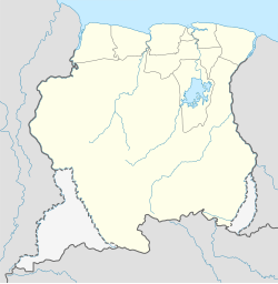
Zoewatta is a village in Sarakreek municipality (resort) in Brokopondo District in Suriname. It is located on Brokopondo Reservoir.
Nearby towns and villages include Wittikamba (3.6 nm), Baikoetoe (1.0 nm) Adawai (7.3 nm) and Abenaston (7.2 nm).

