Koréra Koré: Difference between revisions
Appearance
Content deleted Content added
m →References: recategorize |
m Removing from Category:Populated places in Kayes Region using Cat-a-lot |
||
| Line 100: | Line 100: | ||
{{DEFAULTSORT:Korera Kore}} |
{{DEFAULTSORT:Korera Kore}} |
||
[[Category:Populated places in Kayes Region]] |
|||
[[Category:Communes of Kayes Region]] |
[[Category:Communes of Kayes Region]] |
||
Revision as of 05:52, 20 August 2020
Koréra Koré | |
|---|---|
Commune and town | |
| Coordinates: 15°08′31″N 8°57′18″W / 15.142°N 8.955°W | |
| Country | |
| Region | Kayes Region |
| Cercle | Nioro Cercle |
| Area | |
• Total | 8,086 km2 (3,122 sq mi) |
| Population (2009 census)[2] | |
• Total | 19,598 |
| • Density | 2.4/km2 (6.3/sq mi) |
| Time zone | UTC+0 (GMT) |
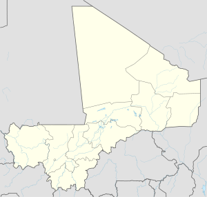
Koréra Koré is a small town and rural commune in the Cercle of Nioro in the Kayes Region of western Mali.
References
- ^ Plan de Sécurite Alimentaire Commune Rurale de Koréra Koré 2007-2011 (PDF) (in French), Commissariat à la Sécurité Alimentaire, République du Mali, USAID-Mali, 2007, archived from the original (PDF) on 2011-07-20, retrieved 2011-02-16.
- ^ Resultats Provisoires RGPH 2009 (Région de Kayes) (PDF) (in French), République de Mali: Institut National de la Statistique, archived from the original (PDF) on 2012-09-19.


