Arivonimamo Air Base: Difference between revisions
Appearance
Content deleted Content added
m add authority control, removed orphan tag |
Importing Wikidata short description: "Airport in Madagascar" (Shortdesc helper) |
||
| Line 1: | Line 1: | ||
{{short description|Airport in Madagascar}} |
|||
{{Infobox airport |
{{Infobox airport |
||
| name = Arivonimamo Air Base |
| name = Arivonimamo Air Base |
||
Revision as of 14:48, 18 December 2020
Arivonimamo Air Base | |||||||||||
|---|---|---|---|---|---|---|---|---|---|---|---|
| Summary | |||||||||||
| Airport type | Military | ||||||||||
| Location | Arivonimamo | ||||||||||
| Elevation AMSL | 4,757 ft / 1,450 m | ||||||||||
| Coordinates | 19°01′45″S 47°10′19″E / 19.02917°S 47.17194°E | ||||||||||
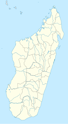
| Map | |||||||||||
 | |||||||||||
| Runways | |||||||||||
| |||||||||||
Sources: World Aero Data[1] | |||||||||||
Arivonimamo Air Base (ICAO: FMMA), or simply Antananarivo Arivonimamo Air Base, is a military airport located in Arivonimamo, Madagascar.
References
External links
External links
- Airport information for Antananarivo Arivonimamo Air Base at Great Circle Mapper. Source: DAFIF (effective October 2006).

