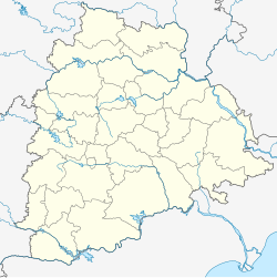
Dharmapuri, Telangana
Appearance
Dharmapuri
Dharmapuri | |
|---|---|
mandal | |
| Coordinates: 18°56′51″N 79°05′38″E / 18.9475°N 79.094°E | |
| Country | |
| State | Telangana |
| District | Jagtial |
| Languages | |
| • Official | Telugu |
| Time zone | UTC+5:30 (IST) |
| PIN | 505 425 |
| Vehicle registration | TS |
| Nearest city | Jagtial |
| Website | telangana |
Dharmapuri is a town and mandal headquarters in Jagtial district of Telangana, India.[1] it has a huge history of temple Sri laxmi Narasimha Swamy.The temple will be more with devotees in the months of March and may (-edited by MANIKRISHNA SANGANABATLA)
Geography
Dharmapuri is situated at a distance of about 28–30 km from Jagityal town and 42 km from Mancherial railway station on the Kazipet–Balharshah section of the South Central Railway on the Bank of River Godavari. This river flows West to East except in Dharmapuri where it flows North to South hence the river is termed as Dakshina Vahini (South Flowing).
References
- ^ "District Administration – Formation/Reorganization of District, Revenue Divisions and Mandals in Jagitial District – Final Notification - Orders – Issued" (PDF). Jagtial District. Retrieved 25 July 2017.


