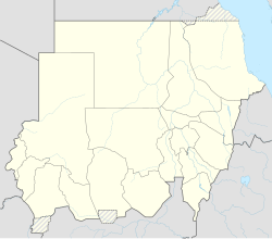
Muglad
Appearance
Muglad | |
|---|---|
Town | |
| Coordinates: 11°2′2″N 27°44′24″E / 11.03389°N 27.74000°E | |
| Country | |
| State | West Kurdufan |
Muglad is a town in West Kurdufan State in the south of Sudan. It is the center town of the Misseriya tribe, sometimes also transliterated as "Messeria" tribe.
Transport
It is served by a railway station on the Waw branch of Sudan Railways.
It is the junction for a branch line to the oil fields at Abu Jabra.
See also
References
11°2′2″N 27°44′24″E / 11.03389°N 27.74000°E

