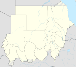
Muglad
Muglad | |
|---|---|
Town | |
| Coordinates: 11°2′2″N 27°44′24″E / 11.03389°N 27.74000°E | |
| Country | |
| State | West Kurdufan |
Muglad is a town in West Kurdufan State in the south of Sudan. It is the center town of the Misseriya tribe, sometimes also transliterated as "Messeria" tribe.
In the late seventies, early eighties, Muglad was used as a staging area for oilfield operations, mainly by California-based Chevron. At the Muglad airstrip, air operations were conducted in DC-3 and also leased Hercules from Transamerica to link the South with the capital Khartoum, for personnel transportation and materials, supplies and fuel. Twin-otter DHC-6 were used for single-pilot flights to the drilling-rig wellsites at jungle / desert sites, and the STOL characteristics were put the test at every mission. In these pre-GPS days, navigation was aided by the Omega-VLF system receivers mounted on the DHC-6.
Transport
It is served by a railway station on the Waw branch of Sudan Railways.
It is the junction for a branch line to the oil fields at Abu Jabra.
See also
References
11°2′2″N 27°44′24″E / 11.03389°N 27.74000°E


