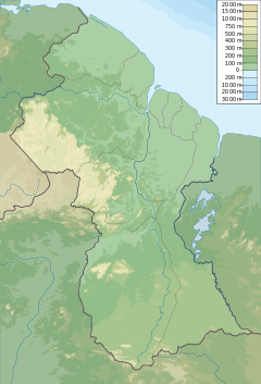
Barama River
Appearance
| Barama River | |
|---|---|
| Location | |
| Country | Guyana |
| Physical characteristics | |
| Source | |
| • location | 7°40′N 59°15′W / 7.667°N 59.250°W |
| Mouth | |
• location | Waini River |
The Barama River is a tributary of the Waini River, both being in the Barima-Waini administrative region of Guyana.[1][2][3]
Settlements on the river include Kariaco (Kariako) and Chinese Landing.[4] An airstrip (Yakishuri Aerodrome) was opened in 2011 to provide access to the area.[5][6]
Gold mining is common in the area, and Barama's banks are dredged to extract gold.[4] Logging is also present in the area.[7]
See also
References
- ^ UK Directorate of Overseas Surveys 1:500,000 map of Guyana NW sheet, 1966.
- ^ Rand McNally, The New International Atlas, 1993.
- ^ "NGA: GNS Home". nga.mil.
- ^ a b "Barama River residents complained about dredges". Stabroek News. 2009-09-16. Retrieved 2021-01-04.
- ^ "Closure of northwest aerodrome causing hardship for Barama residents". Stabroek News. 2018-04-16. Retrieved 2021-01-04.
- ^ "Yakishuru aerodrome reopened". Stabroek News. 2018-04-20. Retrieved 2021-01-04.
- ^ "Chinese company seeking to log on former Barama concession". Stabroek News. 2018-04-23. Retrieved 2021-01-04.
7°40′N 59°15′W / 7.667°N 59.250°W

