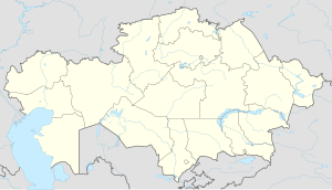
Stepnogorsk
Appearance
Stepnogorsk
Степногорск | |
|---|---|
 | |
| Coordinates: 52°20′59″N 71°53′24″E / 52.34972°N 71.89000°E | |
| Country | Kazakhstan |
| Region | Akmola Region |
| Population (2009) | |
• Total | 46,712 |
| Time zone | UTC+6 (Omsk Time) |
Stepnogorsk (Template:Lang-kk; Template:Lang-ru) is a town in Akmola Region, Kazakhstan. It was established in 1959, and has been a town since 1964. It is located about 200 km North-East of Nur-Sultan. It began as a closed town with code names Tselinograd-25 (Template:Lang-ru), Makinsk-2 (Template:Lang-ru). The town is known as a nuclear and biochemical site.[1] Population: 46,712 (2009 Census results);[2] 47,372 (1999 Census results).[2]
References
Wikimedia Commons has media related to Stepnogorsk.
- ^ Report includes interview with a microbiologist who "ran a huge bioweapons production plant in Stepnogorsk"
- ^ a b "Население Республики Казахстан" [Population of the Republic of Kazakhstan] (in Russian). Департамент социальной и демографической статистики. Retrieved 8 December 2013.
External links
- STEPNOGORSK Online - Unofficial web site since 1999 mirror (in Russian)
- Advertising and Information Portal town Stepnogorsk Kazakhstan (in Russian)
52°20′59″N 71°53′24″E / 52.34972°N 71.89000°E


