Deuchny Wood
Appearance
| Deuchny Wood | |
|---|---|
| Geography | |
| Location | Perth and Kinross, Scotland |
| Coordinates | 56°23′45″N 3°22′37″W / 56.395944°N 3.37689°W |
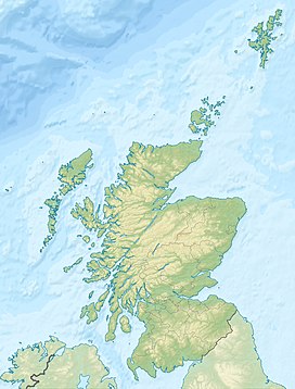
Deuchny Wood (also known as Deuchny Woodland Park) is a Forestry and Land Scotland site in Perth, Scotland.[1] 350.36 acres (141.79 ha) in size, it is adjacent to Kinnoull Hill Woodland Park, of which Deuchny Hill is one of the five constituent hills (the others being Kinnoull Hill, Corsiehill, Barnhill and Binn).[1]
The wood is home to a prehistoric hillfort referred to as "Iqudonbeg" in 1403.[2]
Deuchny Burn flows out of the woods to the south, while Langley Burn cuts through its northeastern corner.
References
- ^ a b Kinnoull Hill Woodland Park, Deuchny Wood – WoodlandTrust.org.uk
- ^ Deuchny Wood – Canmore

