Khenifra National Park
Appearance
| Khenifra National Park | |
|---|---|
 Cedrus libani var. atlantica (Atlas Cedar); syn: Cedrus atlantica - in a native habitat in the Middle Atlas Mountains, Morocco.]] | |
| Location | Morocco |
| Coordinates | 32°56′08″N 5°25′47″W / 32.935505°N 5.429707°W |
| Area | 842 km2 (325 sq mi) |
| Established | 2008 |
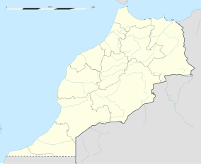
Khenifra National Park is a national park in central Morocco, east of the city of the same name. The park was created in 2008 and is 842 square kilometres (325 sq mi) in size.[1] Extending across the middle Atlas Mountains, the park is home to a wealth of fauna and flora.[2] Lake Aguelmame Aziza and Lake Aguelmame Sidi Ali are located within its borders.
References
- ^ Khenifra National Park, Protected Planet
- ^ "Khenifra National Park | Morocco". Wild Safari Guide. Retrieved 2020-11-30.

