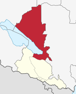
Songwe District
Appearance
Songwe | |
|---|---|
 location in Songwe Region | |
| Coordinates: 8°25′26″S 33°01′44″E / 8.4238°S 33.0290°E | |
| Country | |
| Region | Songwe Region |
| Established | 2015 |
| Capital | Mkwajuni |
| Government | |
| • Type | District council |
| Area | |
• Total | 16,070 km2 (6,200 sq mi) |
| • Land | 14,965 km2 (5,778 sq mi) |
| • Water | 1,105 km2 (427 sq mi) |
| Population (2012 Census)[1] | |
• Total | 133,692 |
| Time zone | UTC+3 (EAT) |
| Website | Official website |
Songwe District is a district established in 2015 in Songwe Region, Tanzania.[1]
References
