Kapla Beel
Appearance
| Kapla Beel | |
|---|---|
| কপলা বিল (Assamese) | |
 Sunset in the Kapla Beel | |
| Location | Near Purba Aladi, Barpeta district, Assam, India |
| Coordinates | 26°20′13.8″N 91°13′26.9″E / 26.337167°N 91.224139°E |
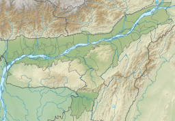
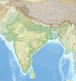
Kapla Beel (also known as Kapla Bill and Kapla Bil) is a wetland and lake located towards the south of Baniyakuchi-Haladhibari under Sarthebari revenue circle in Barpeta district of Assam. [1][2]
Area
Total area of this lake is 25 ha.[2]
Aquafauna

This lake is the habitat of a number of species of indigenous fishes like Kawai (Anabas testudineus), Magur (Walking catfish), Singi (Heteropneustes fossilis), Sol (Snakehead murrel), Puthi (Olive barb), Khalihana (Trichogaster fasciata), Barali (Wallago attu) etc.[1]
See also
References
- ^ a b "Kapla Beel's reputation of producing local fish takes a hit". The Assam Tribune. Retrieved 10 November 2020.
{{cite web}}: CS1 maint: url-status (link) - ^ a b "Ecology and fisheries of beels in Assam (Page No. 20 of 81)" (PDF). Central Inland Fisheries Research Institute. Retrieved 7 November 2020.
{{cite web}}: CS1 maint: url-status (link)


