Ekskogen
Appearance
Ekskogen | |
|---|---|
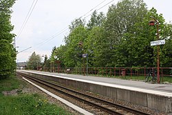
 Roslagsbanan's station in Ekskogen | |
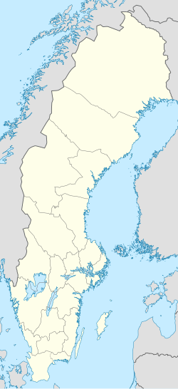
| Coordinates: 59°38′22″N 18°13′31″E / 59.63944°N 18.22528°E | |
| Country | Sweden |
| Province | Uppland |
| County | Stockholm County |
| Municipality | Vallentuna Municipality |
| Area | |
• Total | 0.61 km2 (0.24 sq mi) |
| Population (2020)[1] | |
• Total | 263 |
| • Density | 430/km2 (1,100/sq mi) |
| Time zone | UTC+1 (CET) |
| • Summer (DST) | UTC+2 (CEST) |
Ekskogen is is a locality situated in Vallentuna Municipality, Stockholm County, Sweden with 263 inhabitants in 2020.[1] The narrow gauge railway line Roslagsbanan has a stop in Ekskogen, with roughly one train per hour per direction. Ekskogen is also served by two bus lines, 661[2] and 666.[3]
References
- ^ a b c "Statistiska tätorter 2020, befolkning, landareal, befolkningstäthet". scb.se (in Swedish). 24 November 2021. Retrieved 18 June 2023.
- ^ "Linje 661". moovitapp.com (in Swedish). Retrieved 18 June 2023.
- ^ "Linje 666". moovitapp.com (in Swedish). Retrieved 18 June 2023.


