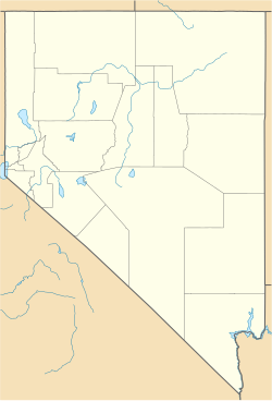
Regan, Nevada
Appearance
Regan, Nevada | |
|---|---|
| Coordinates: 39°47′05″N 114°10′35″W / 39.78472°N 114.17639°W[1] | |
| Country | United States |
| State | Nevada |
| County | White Pine |
| Elevation | 6,863 ft (2,092 m) |
| Time zone | UTC-8 (Pacific (PST)) |
| • Summer (DST) | UTC-7 (PDT) |
| GNIS feature ID | 858305 |
Regan is a ghost town, a historical mining town, and a former populated place in White Pine County, Nevada.[1] It had its own Regan post office from August 1906 to November 1907.[2][3]: 109 Its site lies at an elevation of 6,863 feet (2,092 meters) in Tippett Canyon in the South Mountains.[1]
References
[edit]- ^ a b c d U.S. Geological Survey Geographic Names Information System: Regan (historical)
- ^ U.S. Geological Survey Geographic Names Information System: Regan Post Office (historical)
- ^ Gamett, James, and Paher, Stanley W., Nevada Post Offices, Nevada Publications, Las Vegas, 1983, 176 pp. Discusses historical background of Nevada post offices.


